
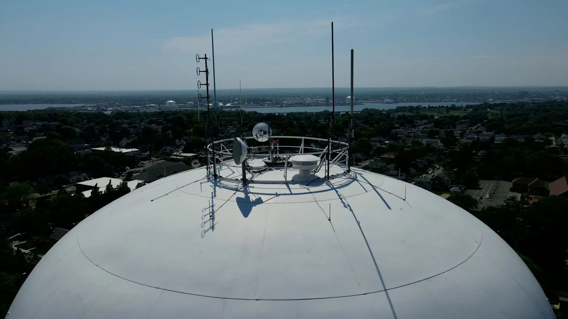
Aerial Inspections with an Expert’s Eye.
Precision Documentation. Expert Analysis.
Drone-based condition assessments backed by NACE-certified coatings and corrosion expertise.
NACE Level 1 Certified · FAA Part 107 Remote Pilot · TWIC Credentialed Operator
Inspection Services Built for Complex Assets

-
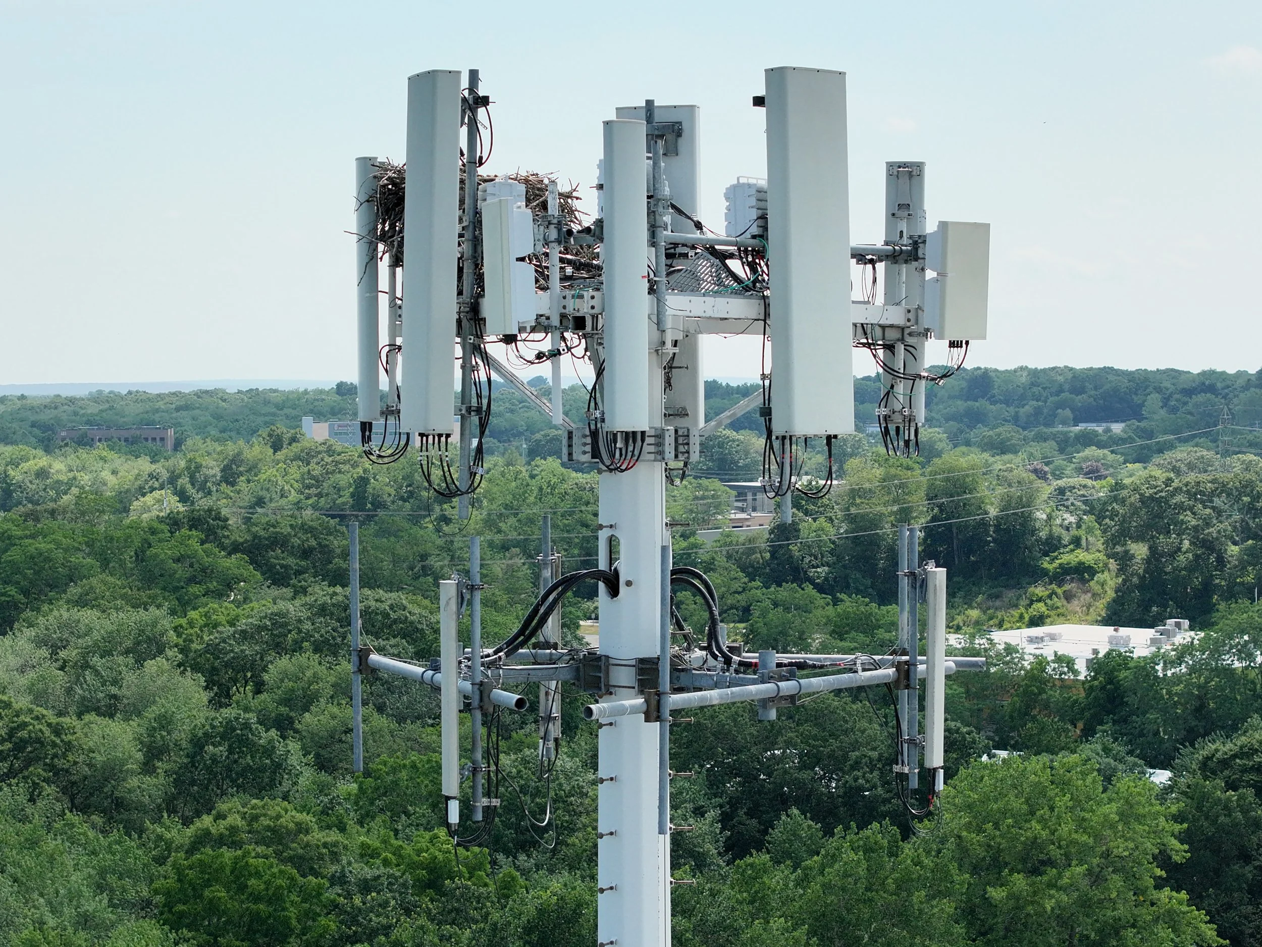
High-resolution aerial documentation for rooftops, façades, telecom structures, industrial facilities, and other hard-to-access assets.
-
NACE-qualified visual assessment of coating breakdown, corrosion, failed sealants, staining, and other visible condition concerns.
-
Organized photo reports, annotated findings, video, and 3D models that turn aerial capture into clear, decision-ready documentation.
The Argus Difference
Argus pairs high-resolution aerial data with NACE-certified coatings and corrosion expertise—giving owners a more useful inspection product than drone photography alone.
How It Works
Discuss the Asset
We review the structure, inspection goals, site conditions, access limitations, and any areas of concern.
Capture High-Resolution Aerial Data
Drone imagery is collected from safe visual angles to document visible conditions without requiring lifts, scaffolding, or unnecessary access risks.
Deliver a Clear Inspection Summary
You receive organized photos, video, marked-up findings, condition notes, and practical next step recommendations.
Request a Project Review
Tell us about the asset, its location, and the condition or documentation goal. We’ll review the project and recommend a practical inspection approach.